Prioritization of Capital Works for Los Angeles Hillside Ordinance Streets
Problem Statement
Hillside street segments of the LA transportation system are approximately 1,424 miles – not all meet the city’s standards. Some of these streets were withdrawn from public use during the depression era – and need to be reintegrated. Of these, some streets are not being maintained, and the ones being maintained may require significant capital improvements. This project aims to develop a prioritization framework for capital improvements based not only on their physical condition, but also along other social and economic dimensions.
Approach
We have developed a graph-theoretic street prioritization framework for the Los Angeles transportation network. First, we collect the data regarding the physical condition, traffic and demographics such as length, width, time of travel, surface condition, and population near the vicinity of the street segment from publicly available databases. Using such data, we estimate both the condition and the importance of streets using various engineering and graph based criteria. . Using multiple criteria we have developed specifically for this project, we identify the important but those in need for repair – ‘streets of interest’ – and recommend them for capital improvement in a limited resource scenario. This project allows us to fuse data for multiple sources and develop new ways to reason using such data in developing capital works prioritization to address complex technical and human facts for effective decision making.
Ongoing Work:
Ongoing work involves the creation of a lidar-visual-inertial-acoustic dataset that will establish a first-of-its-kind benchmark for evaluating state estimation algorithms and inspection applications for USVs. By extending the hardware configuration to include a consumer-grade DVL, we aim to collect data in a variety of maritime settings, with the full 6 DoF ground truth pose of the USV recovered. This work will also explore potential improvements to sonar to IMU and DVL to IMU extrinsic calibration methods.
Key Results and Visuals:

![]()
Figure 1: a) Hillside layer in Los Angeles b) Los Angeles Transportation Network
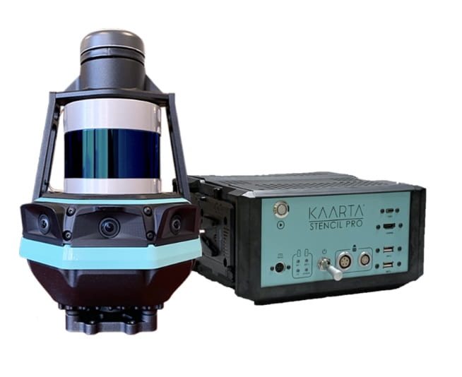
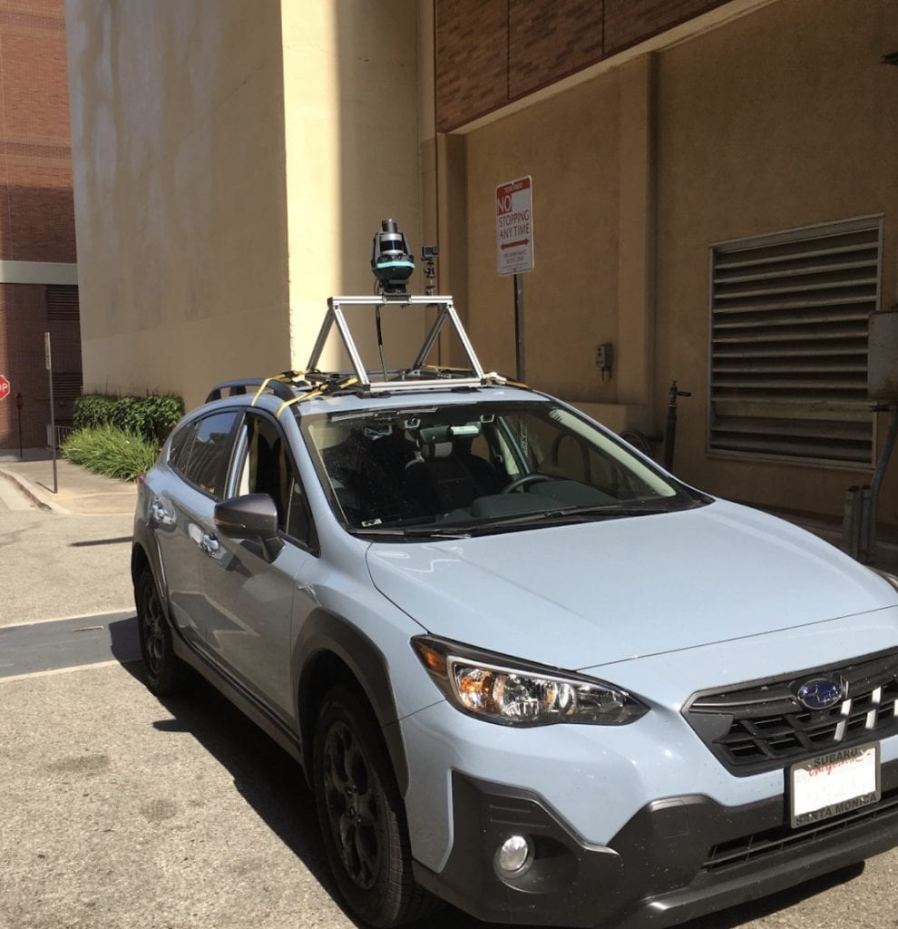
Fig 2: Stencil Pro Kaarta and it is mounted on a car for data collection

Fig 3: A sample LiDAR scan result
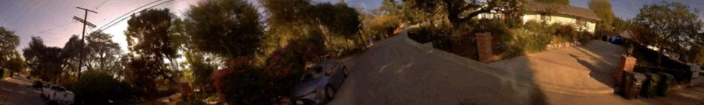
Fig 4: A sample panorama camera snapshot
Relevant Publications
Publication in progress.
Students